
Stop Chasing Pixels: How to see satellite images for any location on earth
When someone wants to have a look at his neighborhood or farm plot from above, the usual first question is which service gives the sharpest look. Better question: how often does that view come back? Crop stress, flood extent, a stand of forest quietly disappearing, whether the contractor actually poured concrete last week — none of that can be detected in a single frame, however detailed it is. Cadence is what determines whether the imagery can answer the question you brought to it. And there are pretty many sources of exact information you need for your purposes.
The European Space Agency’s Copernicus program, NASA, the USGS, and NOAA together publish near real-time satellite imagery for free, under licenses that permit commercial reuse and redistribution — no justification, no end-user agreement, no per-scene invoice. That arrangement is unusual in Earth observation, and it is worth understanding before anyone spends money.
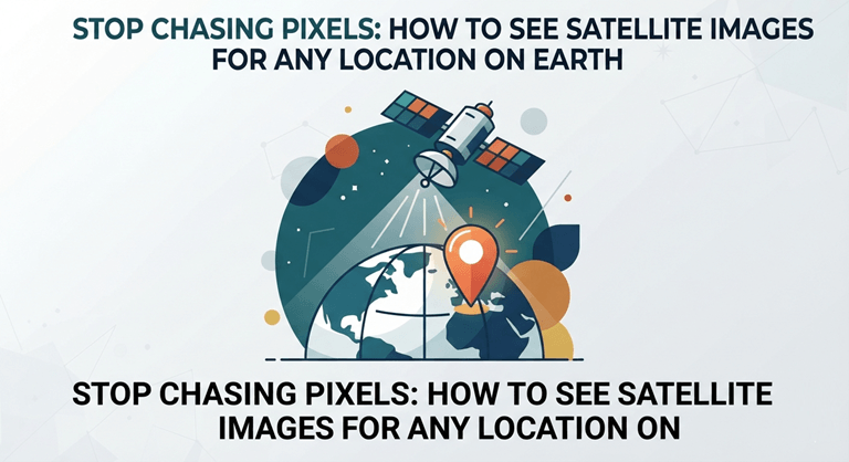
What free satellite imagery actually delivers
Four programs cover the majority of tasks for civilian usage:
- Sentinel-2 (ESA/Copernicus). It has 13 spectral bands, four of them at 10 m, with a five-day revisit at the equator from the twin-satellite configuration. Agronomists and crop insurers use them the most. For instance, at 10-m resolution, a single field is visible enough to tell a drainage problem from a fertilizer miss.
- Landsat 8 and 9 (NASA/USGS) — 30 m multispectral, 15 m panchromatic, eight days between passes when both satellites are counted, and a continuous record reaching back to 1972. No commercial constellation has that time depth, and none will for decades. It suits anyone who has to prove change over time — land-use researchers, forestry and mining regulators, lawyers documenting a site as it stood before the dispute.
- Sentinel-1 — C-band radar, which sees through cloud and darkness. Optical archives collapse during a monsoon; radar does not. That makes it the workhorse for flood response teams and for rice growers, whose cloud season and growing season are the same season.
- MODIS and VIIRS (NASA) — coarse at 250–375 m, but global every single day. This is where daily satellite imagery free of charge genuinely exists. Use it for continental watch duty — fire, smoke, drought onset — the daily work of emergency managers and national agencies rather than anyone studying one property.
But there is one aspect to pay attention at: a five-day revisit is not a five-day usable revisit. Cloud does not care about the orbit. Over the humid tropics or a northern European autumn, the gap between clear optical views of the same field can stretch to several weeks, which is why anyone promising up-to-date satellite images for free is promising up-to-date acquisitions, not up-to-date visibility. Pairing Sentinel-2 with Sentinel-1 radar is the standard fix.
The economics that made open access normal
Landsat scenes used to cost money. The USGS stopped charging in 2008, and the obvious worry — that nobody values what they don’t pay for — was answered, and not in its favor. A November 2019 USGS report put the benefit users drew from the archive at roughly $3.45 billion in 2017, against $2.19 billion in 2011. That’s the conservative number: built from download volumes and willingness to pay, it leaves out cloud-vendor mirrors and downstream products entirely. Free beat paid on the one measure paid was supposed to win. Proposals to reverse the policy keep dying on that fact.
NASA applied the same reasoning to latency. Its FIRMS service distributes fire detections within about three hours of observation, and across most of the United States and Canada it now pushes ultra real-time detections in under a minute — roughly 50 seconds from the spacecraft’s view to a public map. Firefighters do not sign a contract for that.
Why the sharpest imagery is rarely the most useful
Free global archives with less than 10 m per pixel — fine for a field, useless for a driveway. Below that there is no high-resolution satellite imagery free of charge.
What the free archives are genuinely good at
Four advantages, none of them small:
- Cadence you can build on. Sentinel-2 every five days, Landsat every eight — enough to see change rather than a single moment.
- Depth of record. The Landsat archive runs to 1972, so a question about how a landscape looked twenty years ago has an answer.
- Licenses that allow commercial reuse. Copernicus and USGS data can go into a product you sell, with no per-scene fee and no negotiation.
- Spectral range rather than sharpness. Thirteen Sentinel-2 bands plus Sentinel-1 radar measure plant health, soil moisture and flood extent — none of which a sharper photograph shows at all.
When to pay anyway
Free data is a good choice, but in some cases it can be not enough for professional use:
- Tasking — no free source will collect a specific coordinate this afternoon on request.
- Fine detail — counting vehicles, grading roof damage, or identifying tree species needs sub-meter pixels.
- Daily coverage at fine scale — 3–5 m every day remains a commercial product.
- Sub-meter history — pre-2000 fine-resolution archives are thin, classified, or gone.
Insurance adjustment, site survey, asset inspection, permit enforcement: these need one very good look at one place, and commercial operators sell exactly that. Pay for it.
So the main question: what’s the smallest change you need to catch, and how fast do you need to hear about it? An agronomist watching for nitrogen deficiency needs 10 m every five days, and Copernicus hands over the most recent satellite images free — no procurement, no contract, nothing to sign. A city that has to prove one permit violation in court needs 30 cm once, and should pay for it without hesitating. The pattern is dull but reliable: recurring questions are cheap to answer, one-off questions aren’t. Resolution has very little to do with it.
Popular on OTW Right Now!


About The Author

Gagan Bhangu
Founder of otechworld.com and managing editor. He is a tech geek, web-developer, and blogger. He holds a master's degree in computer applications and making money online since 2015.